
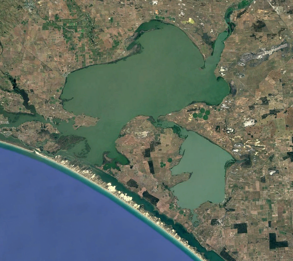
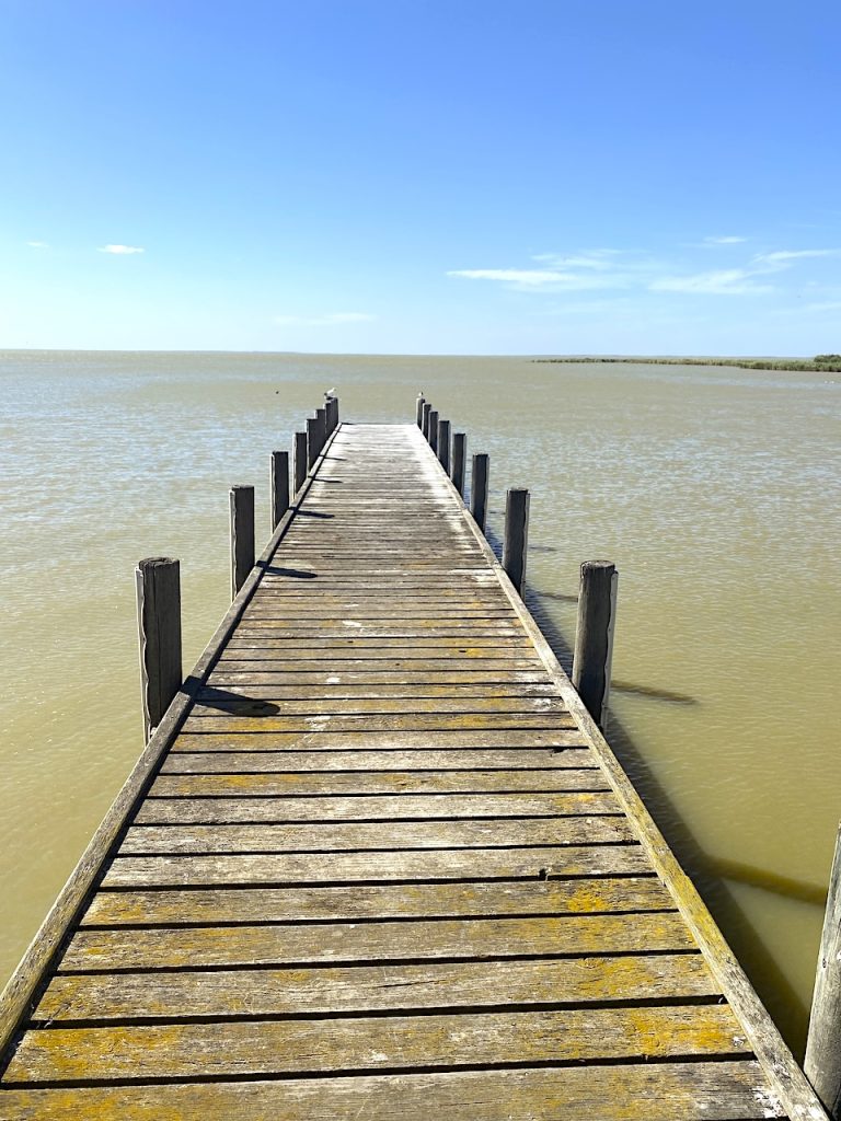
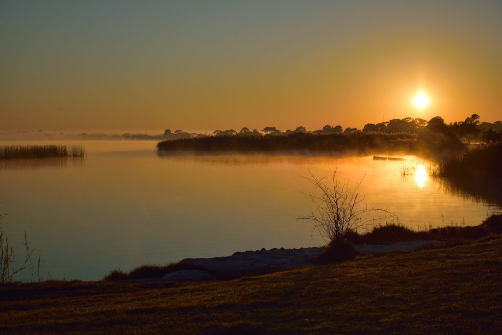
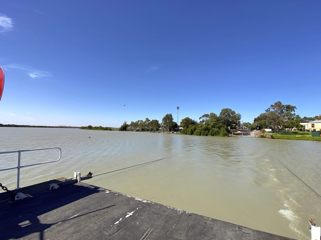
I recently stood on the foreshore of Lake Alexandrina. The first thing you notice is how plain it can look. Not plain in the sense of dull, it’s still a vast, shining sheet of water, the kind of place that slows people down. But plain in the way a managed landscape becomes, once you’ve lived with it long enough.
I watched pelicans drift across water that looked calm, settled, and almost domesticated. A few tinnies were working the edges and tourists were fishing. Jet skis caused a fuss in the distance, while families set up chairs under the eucalypts with a view as kids swam in the shallows on a searingly hot Australia Day.
Interpretive signs do what they always do. They reassure you that the story is settled while discussing environmental water, restoration and saving the system, as if the river’s natural endpoint is what you see and the main drama is whether upstream folk will behave because they take too much water.
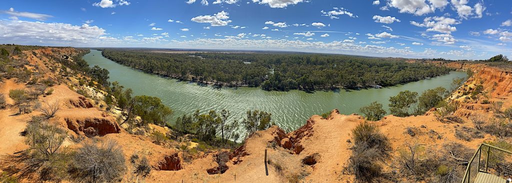
I’d driven down through the lower country with that familiar tension I always get when I reach the mouth of a big river. Rivers are honest and they don’t care what your committee minutes say. Nor do they care about modelling assumptions. They do what physics allows and what history has set in motion. And the Murray River, for all the layers of politics now draped over it, is still a river that arrives here looking tired.
Its story carries the weight of every decision made from Queensland down. So, it’s tempting to see the mouth as the last innocent place, that point where truth finally becomes clear and blame can be assigned.
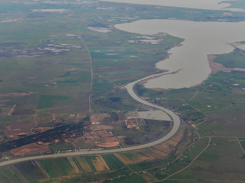
But the trouble with the Murray is that almost nothing about it is obvious once you scratch the surface. The mouth of the system is not a passive receiver of upstream sins. It has its own engineering history, political strategies and cultivated mythologies. Once you start tracing those, you realise the most consequential re-design in the Murray-Darling Basin didn’t happen in cotton country or along some distant floodplain. It happened right here, at the mouth, when an estuary was turned into a managed freshwater store and later rebranded as “nature”.
I have already discussed the broader Murray–Darling Basin debate and how it’s now largely shaped by false stories and political spectacle, with “villains” and “heroes” chosen for ideology rather than facts. That earlier story directly links to this one because the strongest myths in the Basin don’t actually start upstream. They begin here, at the end, where South Australia can claim the moral high ground and speak as if it represents “the river” itself.
But that position holds only if the Lower Lakes are seen as a naturally freshwater sanctuary harmed by upstream greed. This perspective falls apart when you consider the area’s history — the estuary that once existed, the public pressure to alter it, the drought fears that prompted engineering works and the later ideological machinery that framed an engineered outcome as a moral right. Lake Alexandrina was never supposed to look like it does now.
An estuary that became inconvenient
If you want to understand why the Murray’s mouth has become such a political weapon, you need to start with the fundamental question that everyone avoids because it’s so crucial. What were the Lower Lakes like before Europeans arrived and before the barrages were built?
The neat modern story insists the Lower Lakes were naturally freshwater and that salinity is an unnatural intrusion caused by upstream extraction. That narrative was formally entrenched in 1985 when the South Australian government listed the lakes under the Ramsar Convention as a freshwater system. With the stroke of a pen, and the authority of international law behind it, a new history was declared. The same assumption later hardened into national policy through the Water Act 2007, which is one of the most damaging and misguided pieces of legislation ever imposed on the Murray–Darling Basin.
However, a look back reveals the truth. Some of the clearest early settler descriptions say the opposite. They describe salinity and brackishness as not occasional issues but a persistent reality.
One of the clearest examples is found in a South Australian newspaper from 1887. In an article discussing a plan to preserve freshwater in Lake Alexandrina, the agricultural editor recommends changing the system and describes what it was like back then.
…the bitter, salt, and useless fluid of the lakes for nine months of the year…
That sentence is worth pondering because it doesn’t come from a modern critic of water policy. It comes from a time when South Australians were pushing for improvements to the system. In other words, it shows that the colonial public record did not regard the lakes as naturally fresh. They were regarded as brackish, often inconvenient and in need of enhancement.
That is the first truth modern debate often misses. What later became known as environmental salvation began as a development goal in the effort to make Lake Alexandrina “fresh”. It kicked off with people seeking a more dependable water supply for stock, towns, irrigation and to maintain a steady water level. An estuary, by nature, is always changing. It shifts with the tide, wind, sand movements and river flows. However, this variability can be tricky if certainty is needed for farming and pumping.
Even the language in that 1887 article is revealing. It is pragmatic and almost impatient. Salt water is described as “useless” because it isn’t easily suited to the purposes people wanted. So, the solution was to change the system, not to adapt to it.
That’s also why so much confusion still surrounds neighbouring Lake Albert. People instinctively assume that if one “lake” is fresh, then the entire lower basin must also be fresh. But Lake Albert is shallow and reacts strongly to local hydrology. It has historically behaved differently from Alexandrina. Viewing the Lower Lakes as a single, uniform waterbody has contributed to every oversimplified story ever told about the Murray’s mouth.
The reality is that the Lower Lakes were part of a vibrant estuarine system that maintained freshwater conditions after heavy flows. They did not function as a permanent freshwater dam. That outcome was achieved later through deliberate design.
How drought fear and “end-of-line” insecurity matured into a political demand
It’s trendy nowadays to call South Australia’s river mouth politics cynical. Sometimes, it’s precisely what motivated South Australians and local communities around the lakes to push for significant change in the first place.
Reliability was a key factor. Residents and farmers sought to make a living from water that was difficult to utilise, as it fluctuated between fresh and saline. They sought stable levels, predictable pumping and a lake system that operated more like a controlled reservoir rather than a tidal-influenced transition zone. This was a reasonable goal for a young agricultural state.
The other driver was fear, sharpened by drought. The Murray’s history includes periods of extremely low flow — years when the river was not the reliable artery Australians like to think it is. During the 1914 drought, for example, one widely reproduced photo (see below) has a caption describing a dry riverbed near Riversdale and bluntly notes that:
A dry river bed is a natural part of the Australian landscape during drought.
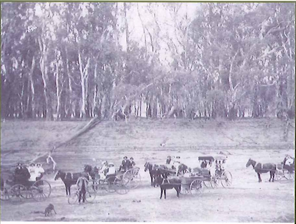
That is an inconvenient truth for modern water politics because it reminds us that the Murray has never been a guaranteed pipeline. Dry years are part of Australia’s climate reality. However, they are politically explosive at the end of the line because South Australia experiences drought not only as a weather event but also as vulnerability, in the sense that upstream decisions can exacerbate natural scarcity.
This is where “end-of-line” geography becomes political. If you are at the end, you’re often tempted to claim you deserve protection from others’ decisions. And once upstream irrigation expanded with locks, weirs and shifting flow patterns, the downstream demand for certainty hardened into a political demand by South Australians that they must secure fresh water at the mouth.
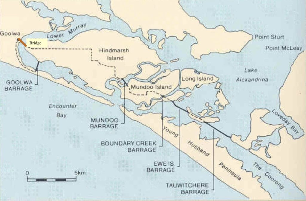
A South Australian agricultural history timeline clearly marks a significant policy milestone. In 1934, the River Murray Waters Agreement was amended, leading to the construction of five barrages near the river mouth to prevent seawater from entering during low-flow periods.
That decision was based on the reasoning that low flows lead to seawater intrusion, so barriers must be erected to prevent it. It is an engineering solution to hydrology, motivated by a social and political desire for stability.
The road to the barrages: not a conspiracy, but a very particular kind of nation-building
The best way to understand the barrages is to see them as the mouth’s version of what Australia did nationwide during the development era. They transformed complex landscapes into manageable ones. One need not look further than the Snowy Hydro Scheme.
The barrages didn’t appear out of nowhere. They stemmed from long-standing debates about navigation, salinity, mouth-closure risk and water allocation. These discussions took place across various commissions, inquiries and interstate negotiations. Competing pressures existed as lower communities wanted reliable freshwater supplies, upstream users sought more diversions and governments aimed to prevent damaging interstate conflicts. As a result, engineers of that era felt culturally empowered to “solve” these tensions through infrastructure.
A 2002 South Australian environmental report by the Murray-Darling Basin Commission examined the implications of the closure of the Murray Mouth. It clearly states that in the 1930s, the government decided to build barrages at the mouth to prevent saltwater from entering the Lower Lakes. This decision was made in response to increased demand for freshwater diversions from the lakes and from upstream users. The report also notes that reduced flows and the construction of barrages have altered the estuary and mouth morphology, increasing the risk of the mouth closing.
In other words, the barrages didn’t just “save” the mouth. They set up a managed system that would require ongoing oversight forever.
The barrages were designed and built by the Engineering and Water Supply Department of South Australia between 1935 and 1940, with funding from the Commonwealth and the states under the River Murray Waters Agreement.
MDBA’s own infrastructure page clearly states its purpose. They were built to retain freshwater in Lakes Alexandrina and Albert and to stabilise water levels for irrigating nearby land.
This clearly explains the original aim of the barrages. They were not built to “restore an estuary.” Instead, their goal was to create and maintain a freshwater flow and a stable water level for human use. While that is a valid historical reason, it also complicates the modern moral story. Once you build infrastructure to establish a new state, you must continually supply it with water to keep it functioning and that feeding requirement became a political tool.
Was there opposition?
Another myth that persists in modern debate is that the barrages were universally supported, implying that everyone saw them as simply “progress.” Support definitely existed, especially among those expecting to benefit from stability, but opposition and concern also existed and they highlight who was vocal about them.
A NSW DPI document related to fisheries explains that barrages prevent seawater from entering lakes and rivers. During flow periods, they are opened to allow inflows, enabling fish and freshwater to reach the Coorong and the sea. It also highlights issues caused by barrages, such as sudden shifts from freshwater to saltwater and fish being unable to move freely to find food, refuge, or to migrate or spawn.
This is essentially the ecological result of what fishermen had long feared, because such a barrier not only blocks salt but also halts fish movement and the environmental signals that guide breeding and migration.
Even outside formal ecology, local issues such as navigation, siltation and fisheries were practical and pressing. People living near the mouth understood that the Murray is not just a pipe ending in a lake, it was a system that finishes at a shifting boundary between river and sea. Any structure that sets that boundary into a fixed state would have consequences.
The barrages served as a means to settle conflicting interests, negotiated during a particular political period.
When engineering becomes baseline, baseline becomes nature, and nature becomes entitlement
Once the barrages were built, Lake Alexandrina mainly stayed fresh. For many, this became a real thing. A generation grew up thinking of it as a freshwater lake. The memory of its brackish changes faded away. The old estuary was pushed into forgotten history, making it easy to ignore and hard to admit. And then the baseline changed in people’s minds.
This pattern is not unique to the Murray. It’s a common trend in environmental politics. Once a new condition is introduced, people begin to see it as the “natural” state. They build homes, farms, livelihoods and identities around it. Over time, they come to believe they are protecting nature, when in reality they are defending an engineered outcome. That is how a political entitlement is silently shaped through memory.
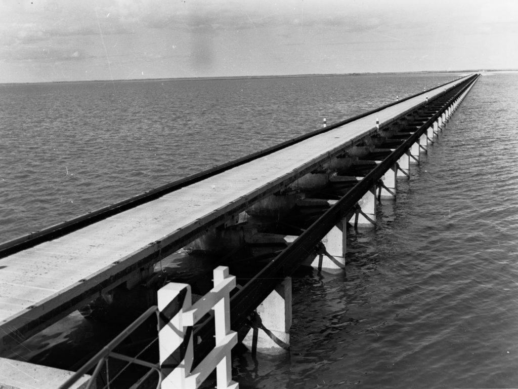
Eric Rolls, in an article that remains notable for refusing to flatter modern illusions, described this shift clearly. He notes that barrages completed in 1940 cut off Lake Alexandrina from the Coorong and seawater inflow, turning the lake from saltwater to freshwater, and he links the reduced flow to fewer fish.
Whether a reader agrees with everything Rolls writes isn’t the point. The passage’s worth lies in its clear explanation of what the barrages achieved. They changed the system’s character, which underpins much of today’s downstream moral debate.
Because once you insist the Lower Lakes are naturally fresh, every saline event becomes “damage”, every low level becomes “failure” and every mouth closure scare turns into a “crisis.” And every crisis can be blamed upstream.
This is the political alchemy at the heart of today’s basin conflict. An artificially created freshwater lake is regarded as a natural resource and the basin is managed as if it must constantly support that resource.
Floods: the river’s inconvenient experiments
Flood years are when the Murray quietly reveals that myth. The barrages regulate lake levels and prevent marine intrusion, but their gates and sluices must open during high flows to let water pass. In typical years, operators can keep the preferred freshwater level in the lakes. During years of high flow, operational needs ease that control.
Floods create what could be described as an unplanned experiment. When the barrier constraint is loosened, the system behaves more like the natural river–sea interface it once was. The sea responds naturally; wind, tide and density gradients do their thing; and freshwater pushes out to sea, but marine influence can also move landward under the right conditions, especially when the mouth is open and the hydraulic setup shifts.
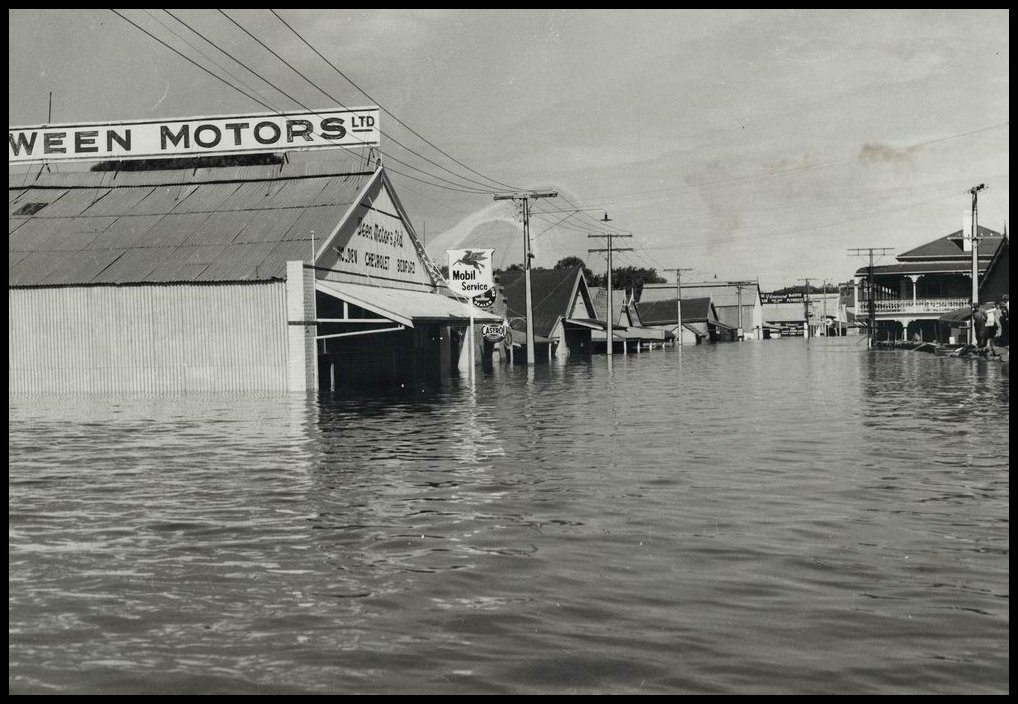
This is exactly why debates about “the lakes were never estuarine” become so heated. If you accept that the sea can influence the lake when the barrages are opened, you are already halfway to recognising that the pre-barrage system was capable of tidal interaction, which is the key feature of an estuary.
What flood years also reveal is how much of the Lower Lakes’ condition relies on management rather than nature. When the system remains fresh during dry years, it’s not because of the landscape’s natural tendencies. It’s because gates are managed to keep a specific state and because water is politically and administratively required to support that state.
In other words, floods don’t just bring water. They also bring clarity and reveal what the system aspires to be when it isn’t constantly constrained.
The Coorong: the place where the “freshwater pipeline” story stops working
If Lake Alexandrina exposes the engineering at the mouth of the Murray, the Coorong exposes the weakness in the modern freshwater narrative. Because once you look closely at the Coorong’s history and hydraulics, the idea of a permanent Murray-fed freshwater pipeline pushing south into the lagoon simply stops making physical sense.
The modern story assumes that the Coorong is, or once was, a kind of downstream extension of the Murray — a wetland that depended on sustained freshwater flows from the river. Under that framing, environmental water is required to push fresh water through Lake Alexandrina and down into the Coorong to “restore” its natural state.
But the historical and geological evidence points to a far more complex system. The Coorong was not a simple freshwater appendage of the Murray. It was a long, shallow, wind-driven lagoon connected to the sea, influenced by tides, local groundwater and seasonal inflows from the south-east. The most significant freshwater inputs into the Coorong historically came not from the Murray, but from the vast wetland complexes and unconfined aquifers of South Australia’s south-east.
Geographers and historians have described this landscape as a series of coastal flats, separated by low ranges, through which water slowly migrated toward the Coorong. These flats received substantial winter recharge, feeding springs, swamps and reed beds that sustained the lagoon’s ecology even when the main body of water remained saline. This system supported the birdlife and fisheries for which the Coorong became famous.
But from the 1860s onward, much of that south-east landscape was drained. Channels were cut, wetlands were reclaimed and major drains such as the Kingston Bowaka system intercepted the natural flows that once moved toward the coast. Over decades, a significant proportion of the freshwater inputs that historically reached the Coorong were redirected or lost.
In other words, the Coorong’s decline was not simply a story of upstream irrigation. It was also a story of drainage and disconnection from the south.
The barrages then compounded the change from the north. By sealing off Lake Alexandrina from tidal exchange, the barrages removed most of the marine prism that once moved through the system. Where tides and wind-driven currents had once flushed organic matter and maintained dynamic salinity gradients, the lower system became increasingly compartmentalised. Lake Alexandrina was held artificially fresh, while the Coorong became more isolated and dependent on managed flows.
This is where the freshwater pipeline story begins to unravel. Without the barrages, Lake Alexandrina would sit at a lower level and behave as a true estuary. Under those conditions, there would be no hydraulic head capable of pushing freshwater consistently south into the Coorong. Instead, the system would behave as estuaries do by shifting with wind, tide and river pulses, sometimes fresh, sometimes brackish and sometimes strongly marine.
Even modern flood events provide a glimpse of that underlying reality. When the barrages are opened during major flows, marine influence can still push into Lake Alexandrina under the right conditions. That alone is a reminder that the system was never a one-way freshwater channel.
Biological evidence tells a similar story. Studies of diatom assemblages — microscopic algae that act as indicators of past salinity conditions — have shown that the Coorong does not carry a persistent signature of Murray freshwater beyond the estuarine zone. That pattern is consistent with a lagoon shaped by multiple influences rather than by sustained riverine input.
Taken together, the geology, the drainage history, the hydraulics and the biological indicators all point in the same direction, showing that the Coorong was never a simple freshwater extension of the Murray. It was an estuarine lagoon fed from several directions, shaped by both sea and land and fundamentally altered by the drainage of the south-east and the construction of the barrages.
This raises an uncomfortable question for modern water policy. If the Coorong was not historically maintained by continuous freshwater flows from the Murray, then what exactly are environmental flows trying to restore? Are they reviving a natural system, or are they sustaining a hydraulic condition created by the barrages themselves? That is the question the freshwater pipeline story struggles to answer.

The Wentworth Group: when advocacy learns to speak as inevitability
The Wentworth Group of Concerned Scientists describes itself as an independent organisation that supports policies for biodiversity, land and water management. They have been heavily involved in the political arguments surrounding the MDBA plan.
Their early flagship documents were explicitly “blueprints”, not narrow technical reports and they were presented as urgent reforms. For example, their Blueprint for a Living Continent outlines a program of major land and water policy change and consistently uses language of what “must” be done, offering a reform agenda rather than an open-ended inquiry.
While such a blueprint may be well-meaning, the main issue is that blueprints are inherently political documents because they select problems, set baselines, prioritise values and advocate specific solutions. Once they gain influence, they also shape which questions are asked.
The issue is that the Wentworth style of intervention has helped normalise a worldview where rural communities are seen as adjustment problems and environmental water recovery is regarded as the main moral solution, sometimes with little regard for social consequences.
There is a widespread belief that the Wentworth group held more “misanthropic views” and that some scientists seemed indifferent to rural communities, caring only about wildlife. While this can easily be dismissed as politics, it is important because it shows how applied environmental science is perceived by those living under its rules.
The National Farmers’ Federation has repeatedly argued that Wentworth’s commentary lacks balance and underestimates social and economic impacts, stating that what is missing is the perspective that affected communities and economies must be considered alongside environmental needs, and criticising the suggestion that environmental concerns outweigh the needs of communities relying on the Basin for survival.
In 2017, the NFF also directly criticised Wentworth, challenging its objections to governments over environmental equivalence tests and water recovery targets, effectively portraying Wentworth as a campaigning actor in a contested policy arena.
That does not prove that Wentworth is “wrong.” It indicates that Wentworth’s role is not solely about scientific observation. Instead, it involves policy advocacy with real distributional effects and major rural institutions regard it as such.
Findings in the Blueprint for a Living document, linked to WWF funding, relied on visual assessment and subjective interpretation, with no physiologically based tree-health data collected. This admission is significant because it shows how a policy narrative can be shaped not necessarily by false evidence, but by interpretive assessment presented as scientific authority.
The politicisation of science in Murray–Darling governance remains a key topic in peer-reviewed discussions. A 2021 paper in the Australasian Journal of Water Resources examines scientific integrity, public policy and water governance, highlighting the contested use of “science” in Murray-Darling Basin debates.
The problem is how certain scientific framings become linked to policy agendas and then moralised so strongly that alternative views are ignored. In that setting, the final outcome can defend an engineered freshwater baseline as if it were natural and the country is driven towards “solutions” that may serve more to uphold ideology than to genuinely restore the environment.
That point brings the story back to Lake Alexandrina.
Environmental water and the moral economy of the mouth
“Environmental water” is now spoken of as if it were beyond politics. It’s portrayed as the antidote to selfish extraction, as if water has moral qualities depending on who uses it.
But environmental water is not inherently virtuous. It is a tool and only becomes “environmental” if it supports the natural function of the system it enters. And that is where the mouth issue becomes unavoidable. If Lake Alexandrina was historically a brackish, variable estuary, then keeping it permanently fresh is not restoration but managing an engineered outcome.
If the Coorong never depended on a steady freshwater flow from the north, then adding water to generate that flow isn’t just “reviving nature.” It could be a way of supporting a hydraulic system created by the barrages, one that wasn’t in place before 1940.
The Basin is no longer managed to attain a natural outcome. Instead, it is managed to reach a predetermined outcome that can most easily claim moral authority.
Who pays and why blame keeps landing upstream
None of this implies that upstream water use is unimportant, as it remains significant. However, it suggests that blame has become a moral storytelling device because simplification benefits politics.
Upstream irrigators did not design the barrages, drain the south-east wetlands, or decide to turn a variable estuary into a stable freshwater reservoir and then defend it as part of nature. But they are increasingly asked to bear the social and economic burden of maintaining that new baseline because once a baseline is moralised, the water needed to sustain it becomes a moral obligation.
This is why the end-of-line stance is such a powerful political move. The mouth acts like the whole river’s report card. Those downstream can always point to the final result and say, “Look what you’ve done.” And the nation, eager for simple stories, often accepts that frame without questioning which specific choices led to that outcome in the first place. This happens during every major drought period.
That’s why I firmly believe the Murray River basin can’t be truly managed if we refuse to tell that origin story.
A closing thought from the river itself
Eric Rolls recounted in his story about two rivers – the Murray and the Mississippi:
Neither river nor land appreciates the work of the engineers.
He wasn’t demonising engineers. He was explaining what happens when complex systems are simplified and then expected to keep functioning as if nothing fundamental has changed. In his discussion of the Murray, he describes the 1940 barrages that cut off Lake Alexandrina from seawater inflow, changing it from saltwater to freshwater.
That single observation is the cornerstone of this entire story because we can no longer pretend the Lower Lakes are naturally freshwater. More importantly, we can no longer claim that the system’s “health” is simply a measure of how much upstream water arrives to support a post-1940 condition.
The Murray’s mouth has developed a particular condition and that condition now affects demands, politics and narratives far beyond South Australia. We simply can’t save a river by denying its true nature. And no amount of water will fix a system run mainly as a convenient story.
I think the real tragedy of Lake Alexandrina (similarly to numerous other lakes and wetlands throughout the Basin) is that we have inadvertently created a huge expanse of habitat eminently suited to the proliferation of carp.
In the absence of carp I suspect that the environmental values of the lake (water quality, the diversity and abundance of native fish, birds, reptiles and aquatic plants) would be hugely greater and everyone would feel much more comfortable with sending environmental water to the end of the river to retain the lake as a freshwater system.