GPS
The pitfalls of having a border follow a celestial line
Introduction
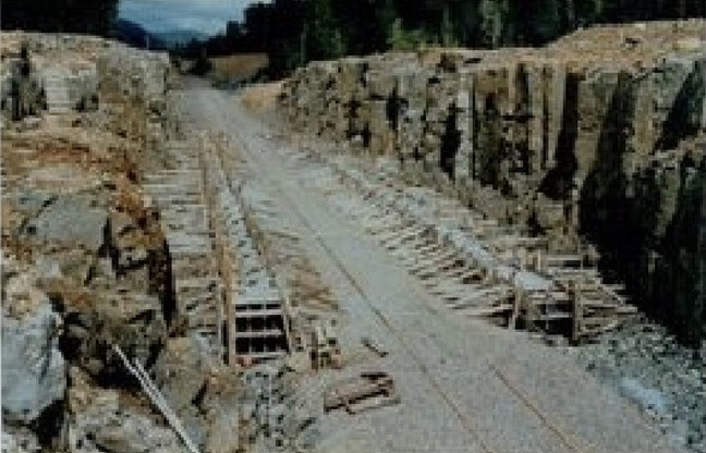
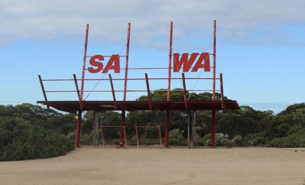
The South Australian portion of the Nullarbor Plain was part of New South Wales. The reason can be explained by examining the stories behind the development of each of the state borders since colonisation. This blog will initially focus on the creation of the Western Australian, South Australian and Northern Territory border, which is now on the 129 Degrees East longitude (1290E) but was initially further east.… Read more